REAL-TIME
MAPS IN ACTION
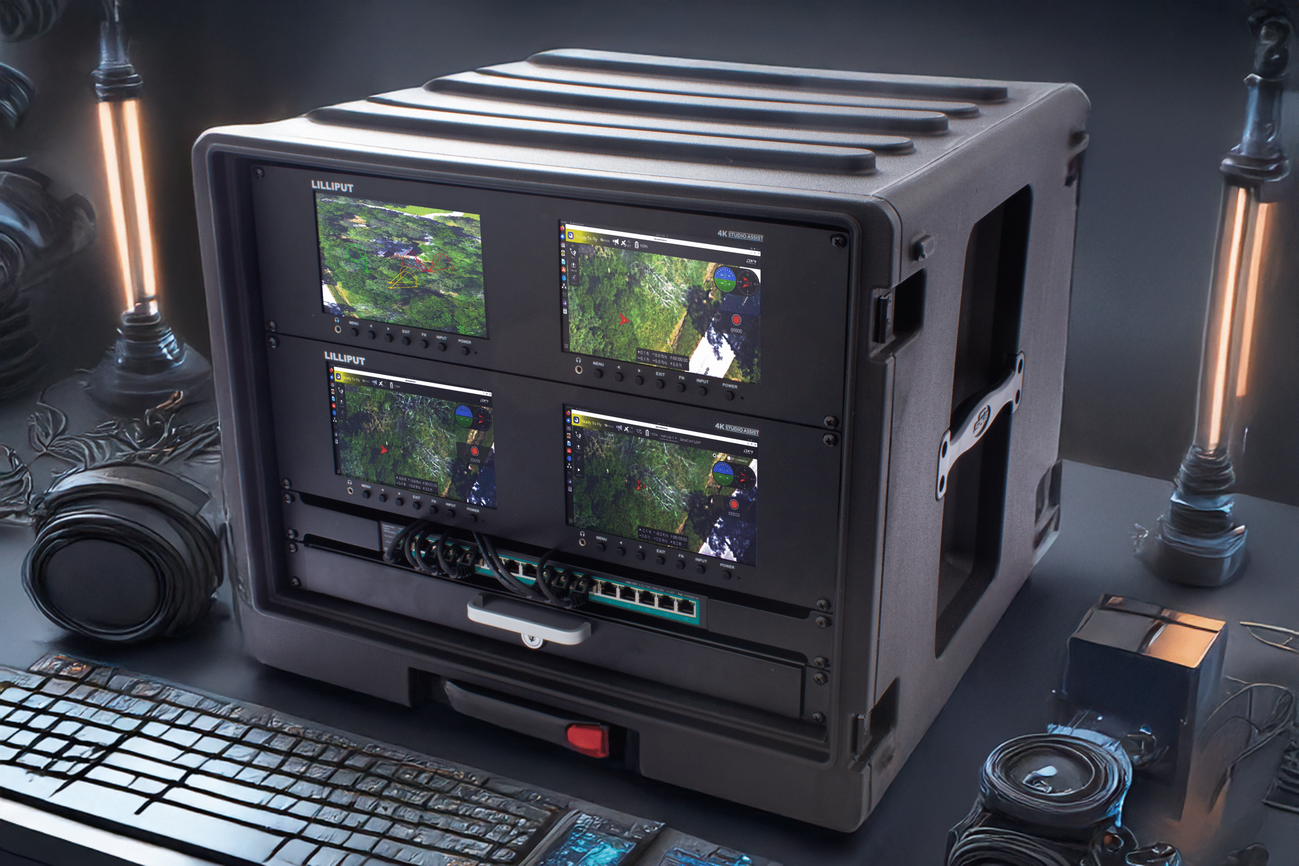
Sensor fusion, layered analytics, and real-time visualization turn data into contextual intelligence. Visualize everything in real-time to gain insights and speed time to decision.


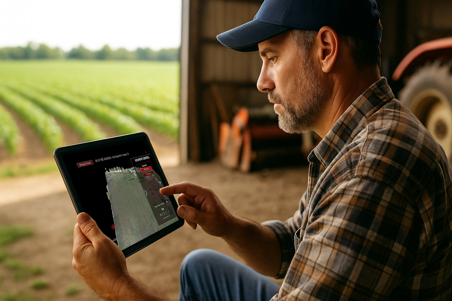
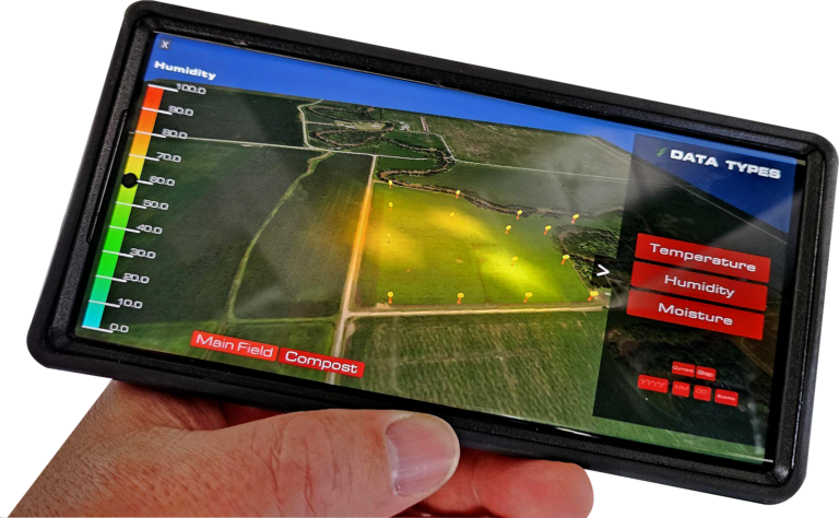
Agriculture
In agriculture, many things can go wrong. When they do, it is destructive, costly and has a long-term impact. Harbinger unifies fragmented ag tech tools for data collection, analysis, and visualization into one easy to use platform, transforming agricultural data into insight, empowering quick, decisive action. Harbinger helps farmers detect issues before they become problems, helping increase production, efficiency, and sustainability, while minimizing risks. Want to gain greater insight on your farm? Contact us for more information.
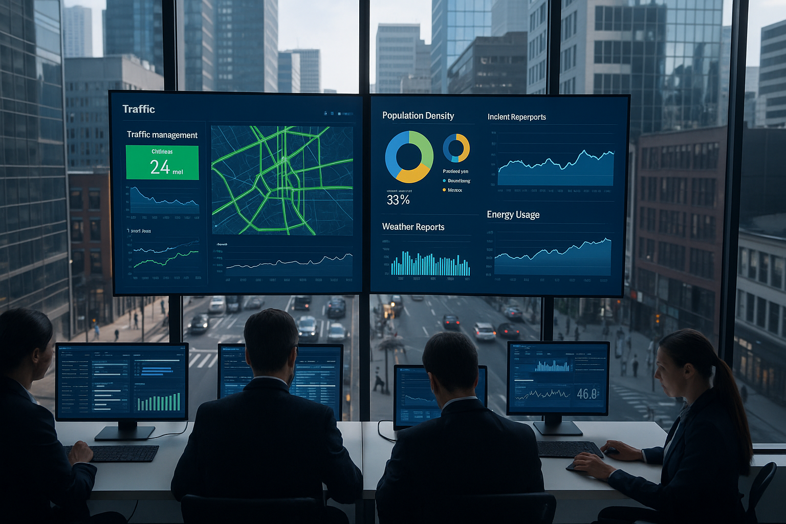
Smart Cities
Cities are investing in sensors and data analytics to improve everything from traffic congestion to disaster response. Harbinger aggregates disparate sources so you can see important metrics in real-time informing city leaders who may not have a degree in data science. Information can be shared with citizens to disseminate important instructions to prevent crisis escalation. Harbinger’s real-time AI analytics don’t just make your city smart; they make it intelligent. Tempest is currently recruiting smart cities for our Pilot Program. Contact us for more information.
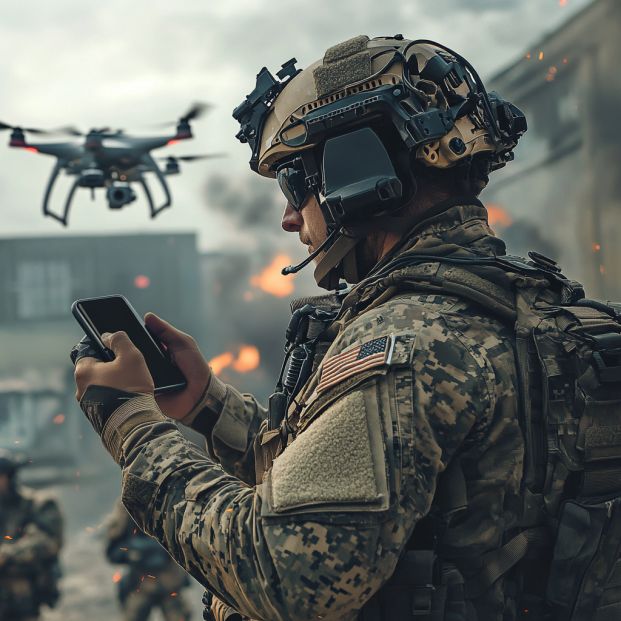
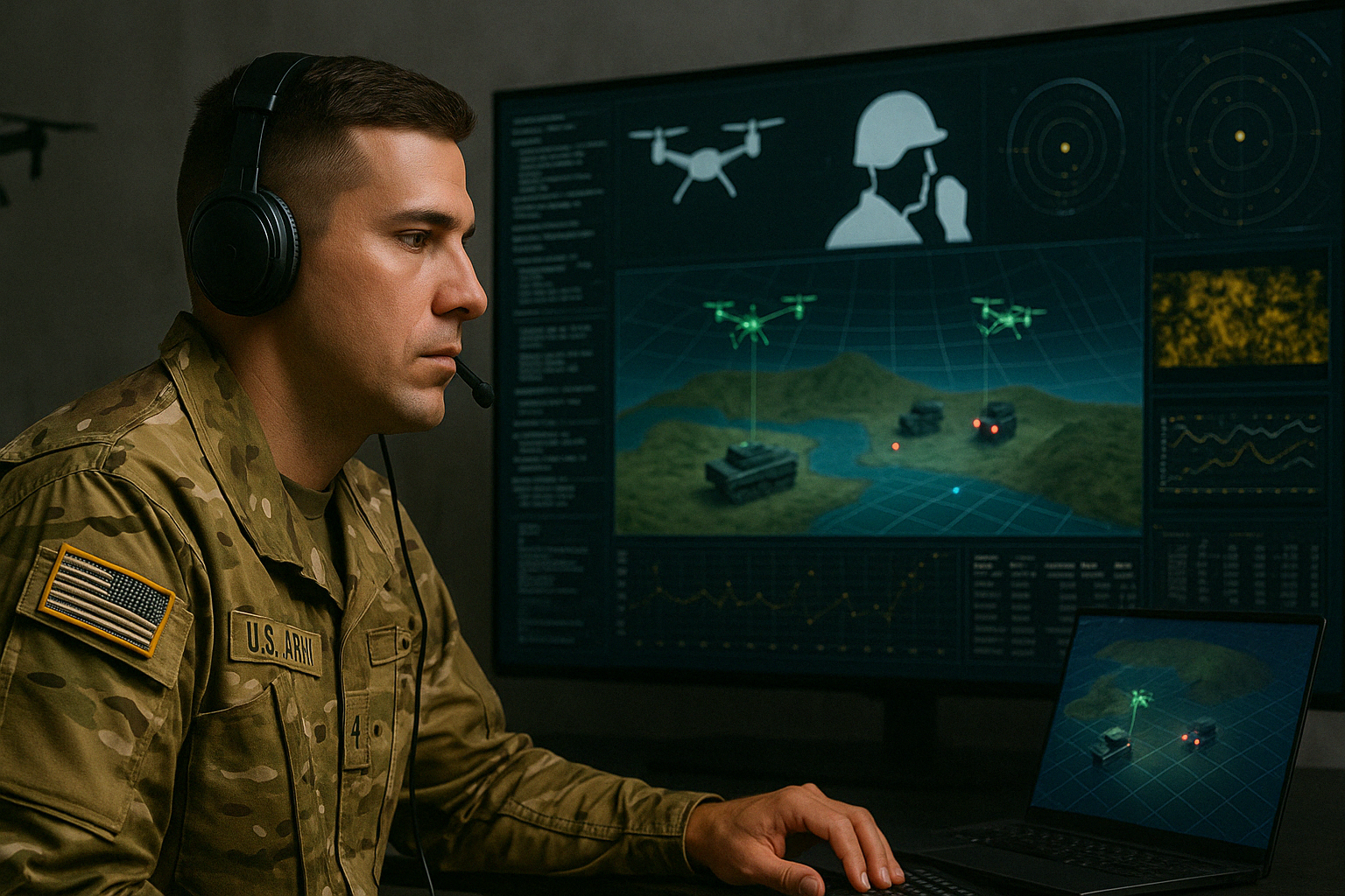
Military
Harbinger provides enhanced human-machine interfacing to keep the warfighter safe. Autonomous multi-vehicle teaming helps gather intelligence and carry out missions. Harbinger functions as a C2 that provides a 3D, multi-spectral COP in real-time, shared simultaneously across the command chain. MOSA architecture supports easy integration with existing systems and configurable to meet multiple mission needs. Server available on premises or on Gov Cloud. Contact us for more information.